Pricing land in the mountains is not like pricing a house on a city street. In Cherokee County, small details such as road access, slope, and septic feasibility can swing value by thousands. If you’re thinking about selling acreage or a lot around Murphy, you want a clear, defensible way to set price and attract the right buyers. In this guide, you’ll learn the local value drivers, which records to pull, a simple pricing framework, and a ready-to-use checklist to request a custom valuation. Let’s dive in.
What drives land value here
Access and road frontage
Paved county or state-maintained roads with documented legal access usually bring higher prices and a wider buyer pool. Private gravel roads, unclear easements, or maintenance questions limit interest and lower value. Verify frontage in county GIS and confirm deeded easements in the Register of Deeds before you commit to a price.
Topography and buildability
Slope matters in the mountains. Flatter or gently sloped areas that support practical building pads are worth more. Steep or rocky terrain reduces usable acreage and raises site costs. Use county elevation layers, USGS topo, and a site walk to estimate buildable area, then factor in septic feasibility.
Utilities and services
Parcels with power at the road and municipal water or sewer available sell at a premium. If service extensions or advanced septic systems are likely, most buyers price that risk into offers. Check with the county health department for septic regulations and any permit history, and ask local electric providers about line location and extension costs.
Views, privacy, and amenities
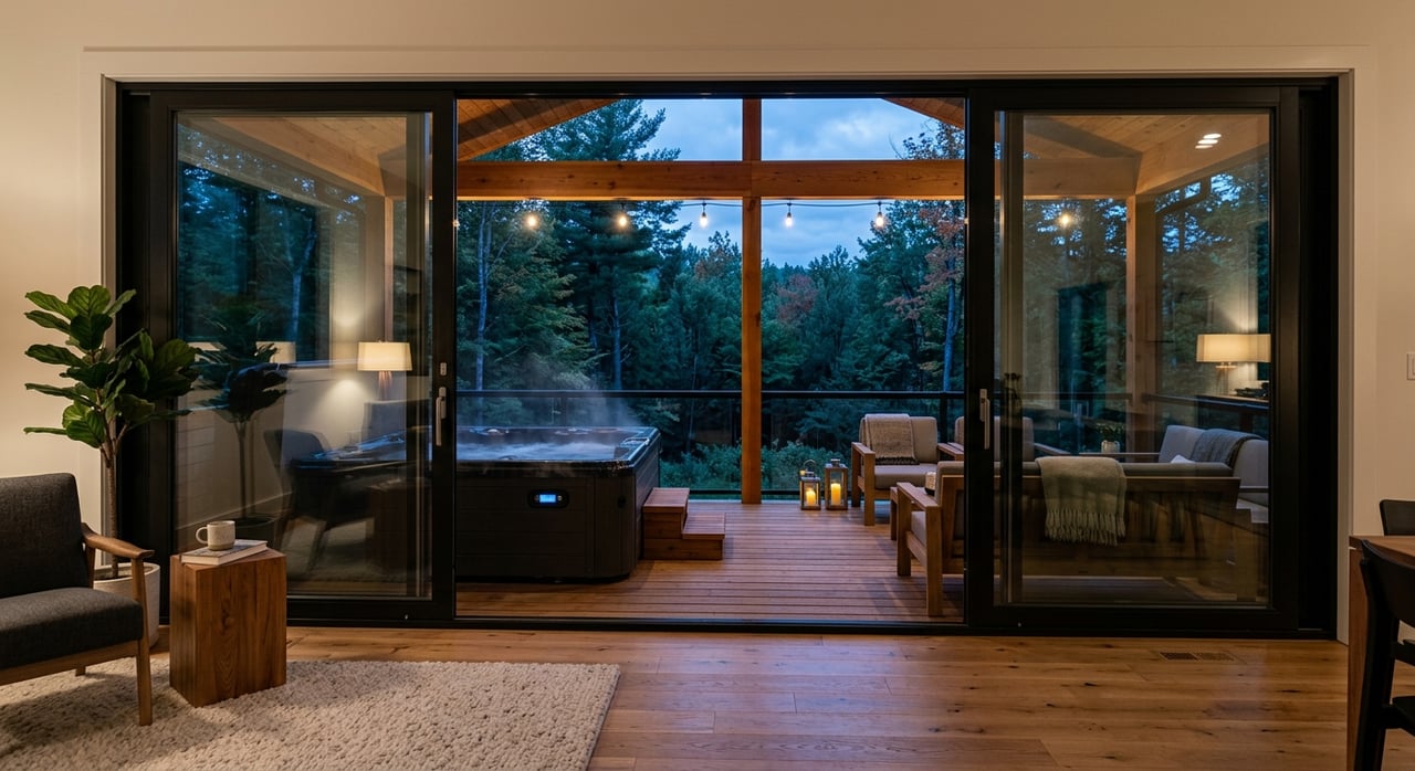
Long-range mountain views, proximity to the Hiwassee River or Lake Hiwassee, and quality privacy buffers can justify higher pricing. Mature timber, hunting potential, and nearby trails also add appeal for recreational buyers. Confirm views and features with on-site visits and aerial imagery.
Zoning and restrictions
Flexible permitted uses and pre-approved lots boost value for builders and investors. Covenants, HOA rules, minimum lot sizes, and split limits can reduce a parcel’s buyer pool. Review zoning with the Planning Department and pull any recorded restrictions from the Register of Deeds.
Environmental constraints
FEMA floodplain, wetlands, and sensitive habitats can shrink the buildable footprint and increase costs. Soil limitations also affect septic options. Check FEMA flood maps and the NRCS Web Soil Survey, then weigh any mitigation needs in your pricing.
Timber, minerals, and income
Merchantable timber can add immediate value, but it requires a professional timber inventory to price correctly. Mineral rights or leases are less common but can be material. Consult the NC Forest Service and review title for any reservations.
Market conditions and buyer types
Local demand from second-home buyers, retirees, recreational users, and small developers shifts pricing throughout the year. Interest rates and overall sales activity also affect time on market. Look at recent land sales in the local MLS and talk with an experienced local agent to understand the current pace.
Where to verify the details
Use these local resources to document the facts buyers will ask about:
- Cherokee County GIS and Tax Assessor for parcel boundaries, acreage, tax value, and road frontage
- Cherokee County Register of Deeds for deeds, easements, and restrictions
- Cherokee County Planning and Health Departments for zoning, septic rules, and permit history
- North Carolina OneMap and NC State GIS for orthophotos and elevation
- NC Department of Environmental Quality for wastewater rules and environmental guidance
- FEMA Flood Map Service Center for flood zone checks
- NRCS USDA Web Soil Survey for soil types and septic suitability
- Local electric cooperatives and broadband providers for service availability
- NC Forest Service for timber guidance
- Local MLS and county sales records for comparable sales
Tip: for a firm asking price, get site-specific tests like a perc test, a current survey, and a clear access verification.
A simple pricing framework
Step A - Set a baseline from comps
- Gather 3 to 6 recent sales of similar-size parcels in or near Cherokee County. If sales are thin, widen the search incrementally and note differences.
- Convert each to price per acre. If buildable area varies a lot, also calculate price per usable acre.
- Use the closest matches to set a baseline range.
Step B - Adjust for parcel factors
Create adjustments for the key drivers that differ from your comps:
- Access and frontage: paved vs. private gravel, confirmed easement, maintenance
- Utilities and services: power at road, municipal water/sewer, broadband
- Buildable area: slope, rock, and realistic building pads
- View or waterfront premium: mountain views, river/lake proximity
- Legal encumbrances: easements, covenants, HOA restrictions
- Environmental constraints: floodplain, wetlands, septic limitations
- Market timing: adjust for market movement since the comparable sales closed
Apply adjustments to move your parcel’s value toward a logical list price in today’s market.
Step C - Final checks and strategy
- If septic or well feasibility is unknown, consider a price discount or plan to provide seller-paid tests.
- Decide on your marketing approach: price at the heart of the buyer pool for speed or hold for a premium if you can wait.
- Budget for a survey, signage, photography, and any commissions or MLS fees, so your net proceeds stay on track.
Quick scoring rubric
Use this to compare parcels and fine-tune pricing bands. Score each 0 to 10, then apply the weight.
- Access and frontage - weight 20 percent
- Topography and buildability - weight 20 percent
- Utilities and services - weight 20 percent
- Comparable market position - weight 15 percent
- View or waterfront or recreation - weight 15 percent
- Legal and environmental constraints - weight 10 percent
Interpretation:
- Score 8 to 10: premium price per acre range
- Score 5 to 7: mid-market price per acre range
- Score under 5: discount pricing or plan for targeted marketing
Practical adjustment examples
- Utility extension: if power must be extended more than 500 feet, deduct the estimated extension cost plus a risk margin.
- Steep slope: convert to usable acres. If only 30 percent is buildable, use price per usable acre for a more accurate baseline.
- View premium: apply the premium to the portion of the site that benefits from the view. Cross-check with local view-lot comps.
- Floodplain or wetlands: subtract constrained acreage from buildable area and discount the remainder for mitigation and marketability.
Documents and on-site checks
Gather these documents
- Deed and legal description
- Recent survey or plat showing boundaries and easements
- Parcel tax card and the latest tax bill
- Recorded covenants, restrictions, or HOA documents
- Septic permit history or perc test results, if available
- Title report or known title exceptions
- Timber reports or management plan, if timber value is relevant
- Current photographs and aerials showing access, views, and key features
Do these on-site checks
- Confirm legal access and look for gates or obstructions along the access route
- Walk likely building sites to assess slope, soils, and drainage
- Drive and time the route to Murphy services like medical, groceries, and emergency response
- Note power pole locations and check cell signal and potential broadband options
Prepare for buyer questions
Have clear answers ready for the most common questions:
- Is access legal and who maintains the road?
- What utilities are at the road or nearby?
- Will a septic system pass and has a perc test been done?
- Are there wetlands, floodplain, or protected areas on site?
- Are mineral or timber rights included?
- How close are everyday services like shopping and medical care?
Avoid common pricing mistakes
- Pricing without confirming legal access or easements
- Ignoring septic and well feasibility until buyers ask during due diligence
- Overvaluing a view without comparable sales that show a premium
- Failing to disclose easements, covenants, or title issues early
- Marketing to the wrong buyer type for the parcel’s best use
Request a custom land valuation
Use this fillable prompt when you reach out to a local expert. Include attachments and photos to speed up the review.
- Parcel ID or APN and any physical address
- Gross acreage and your estimate of usable or buildable acres
- Attach recent survey or plat: Yes or No
- Legal access: paved county road, private road with easement, or no documented access
- Utilities: electric at road, municipal water or distance to line, municipal sewer or septic required, broadband availability
- Topography summary: flat, gentle slope, steep, or rocky
- Views or water: mountain view, creek frontage, lake or river proximity, or none
- Environmental notes: FEMA flood zone, wetlands, sinkholes, or other
- Zoning or development restrictions: summary or attach documents
- Any covenants or HOA: Yes or No, attach if Yes
- Recent improvements: driveway, graded pads, partial utilities
- Timber present: Yes or No, with species or age if known
- Intended use: single-family, subdivision, recreational, timber, or commercial
- Up to three comparable sales if available: address or APN, date, and sale price
- Timeline and selling strategy: list now, hold and improve, or seek offers
Ask your agent or appraiser to provide a comparable-sales-based price range, recommended tests to de-risk the sale, and an estimate of the expected closing timeline in the current market.
What this means for your timeline
If you price with verified access, clear buildability, and documented utilities, you will attract more qualified showings and smoother offers. If key items are unknown, buyers often discount or delay. Doing the groundwork up front gives you leverage and helps you choose between a faster sale or holding for a premium.
Ready to price your land?
If you want a grounded, local price for land in Murphy or anywhere in Cherokee County, we can help you gather the right records, pull comps, and choose a strategy that fits your goals. Reach out to The Randy Dockery Team for a friendly consultation and a practical pricing plan tailored to your parcel.
FAQs
How do you price mountain land in Murphy, NC?
- Start with recent local comparable sales, then adjust for access, slope and buildable area, utilities, view or water features, and any legal or environmental constraints.
What adds the most value to land in Cherokee County?
- Paved, legally documented access, usable building pads, power and municipal services at the road, and strong mountain views or water proximity typically bring premiums.
How do you handle septic and well uncertainty when pricing land?
- If permitability is unknown, either complete a perc test and well evaluation first or discount the price to reflect buyer risk and likely time in due diligence.
Where can you find reliable comps for land in Cherokee County?
- Pull recent sold parcels from the local MLS and county sales records, then verify differences in utilities, slope, frontage, views, and restrictions before adjusting.
Do lake or river views always mean a premium in Murphy, NC?
- Views and water proximity often add value, but the premium depends on access, buildable area, and local comps that prove buyers have recently paid more for similar features.